Investigation
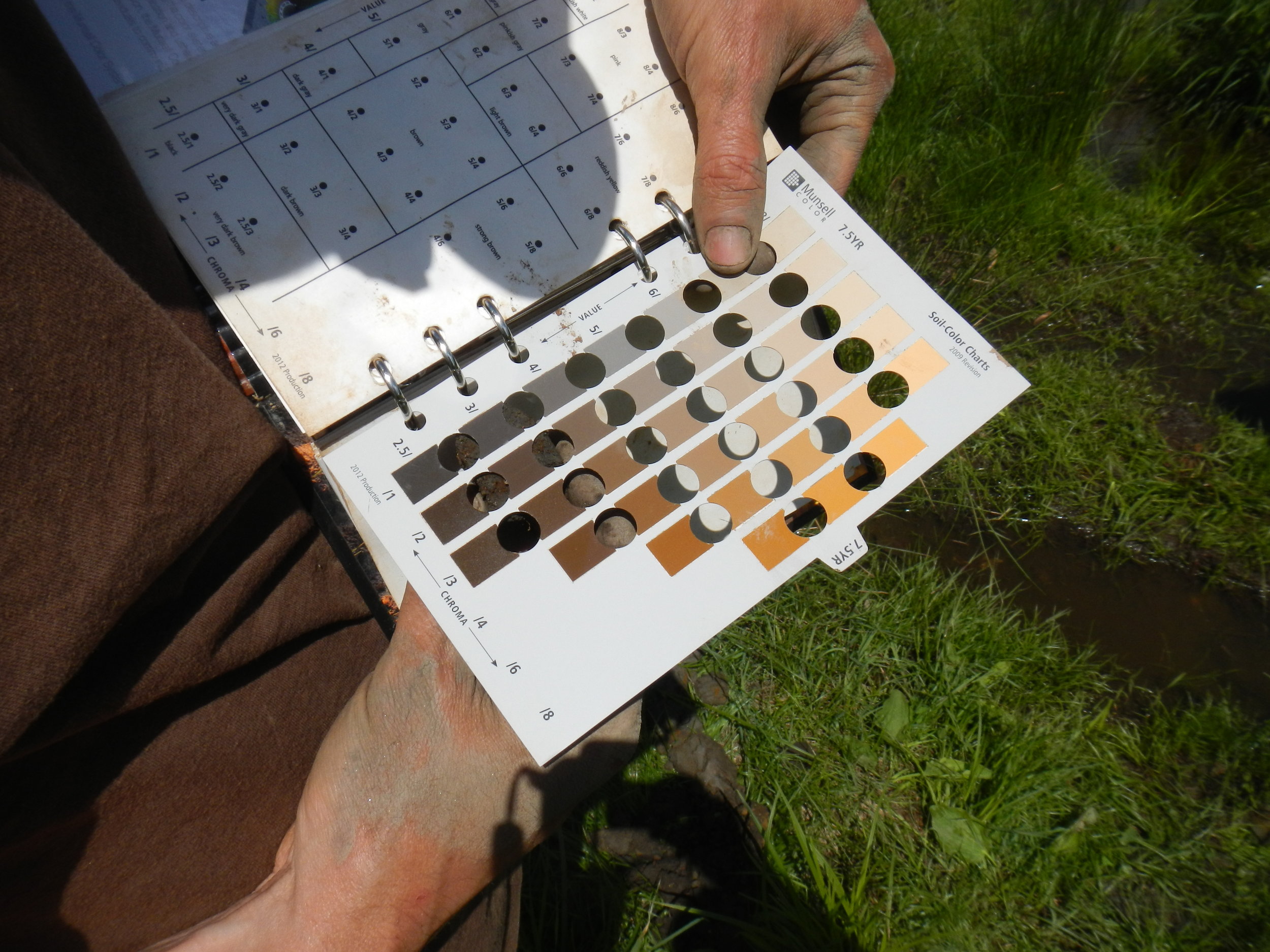
Our highly mobile field team can deploy throughout Appalachia to provide quick and accurate water resource investigations for coal operations, natural gas drilling locations, pipeline routes, and commercial development. Wetlands are delineated in accordance with the United States Army Corps of Engineers (USACE) wetland delineation methods. Streams are mapped, classified according to the Rosgen stream methodology. We use survey-grade GPS as well as conventional survey to accurately map field features and water resource boundaries.
We work with federal and state permitting agencies and companies providing applied training to consistently hone our field applications and techniques. Green Rivers’ water resource and scientific investigations are of the highest quality.


